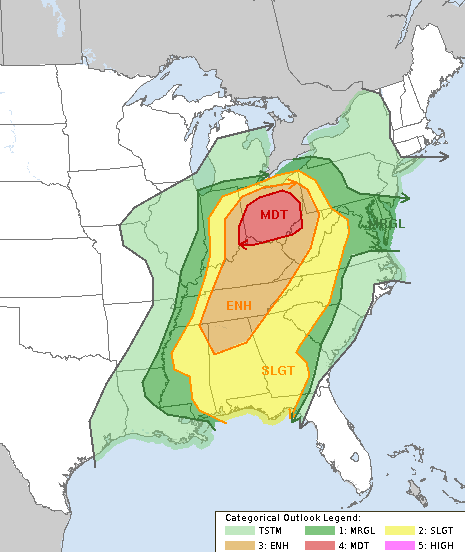
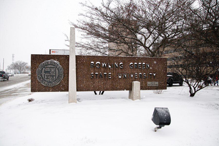
The state of Ohio is facing the threat of severe weather tomorrow, Tuesday, April second. Bowling Green is located in an enhanced risk for severe weather, which is a level 3 out of 5. Just to Bowling Green’s south and southeast, there is a level 4 out of 5 moderate risk for severe weather. According to the National Weather Service in Cleveland on Facebook, there is a risk for damaging winds over 80 miles per hour, large hail 1 to 2 inches in diameter, and tornadoes. There is a chance for a few significant tornadoes. Storms are anticipated during the afternoon and evening hours.
What action should you take right now? The best thing to do right now is to prepare for the potential for severe weather tomorrow. Make sure you have a severe weather safety plan ready to be enacted if severe weather does occur. This includes having a tornado safe place prepared or recognizing where to take shelter within your home or building of residence. Make sure you have a reliable way to receive weather alerts. A NOAA weather radio is a reliable way to receive alerts. Do not rely on tornado sirens to alert you while indoors. They are intended for outdoor warning use, not indoor use. We will continue to monitor the severe weather situation as we near the potential event.


