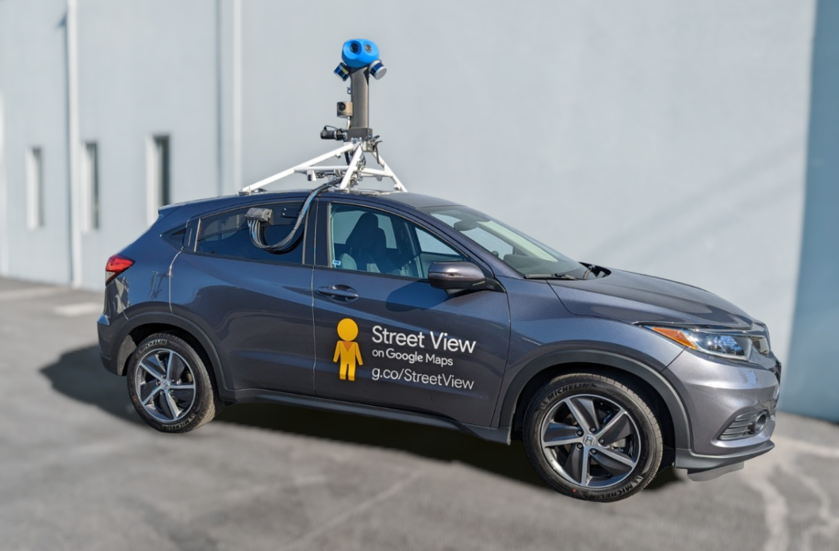
According to its website, Google’s Street View car will be coming to Wood County though members of some Bowling Green Facebook pages claim to have already seen it in the area.
Street View has been collecting images across Ohio since April and will continue through the end of October. The Street View website did not give specific dates for locations.
The site indicates these areas will be among those where images are captured: Lawrence, Scioto, Gallia, Jackson, Adams, Pike, Brown, Highland, Clermont, Hamilton, Butler, Warren, Clinton, Fayette, Ross, Pickaway, Madison, Franklin, Preble, Montgomery, Darke, Miami, Shelby, Greene, Clark, Champaign, Logan, Mercer, Auglaize, Williams, Defiance, Henry, Fulton, Lucas, Wood, Ottawa, Sandusky, Seneca, Hancock, Wyandot, Crawford, Erie, Huron, Richland, Ashland, Lorain, Medina, Wayne, Cuyahoga, Geauga, Lake, Ashtabula, Trumbull, Portage, Mahoning, Columbiana, Stark, Carroll, Holmes, Putnam, Allen, Vinton.
The Street View car is Google’s most-used equipment for collecting imagery and has helped the company capture more than 10 million miles around the world. Google also uses Trekker, a portable camera system can be used as a backpack or mounted on top of a pickup truck, a snowmobile or a motorbike, allowing the company to to collect imagery in narrow streets or in places that can only be reached by foot such as hiking trails in national parks. Trekker was used on the BGSU campus in 2015 to collect 360-imagery on walking paths.
Street View images for some areas of Bowling Green date back more than a decade.
Collecting images is the first of three steps before they appear on Google Maps. Users can also upload their own 360-degree images via the Google website.


