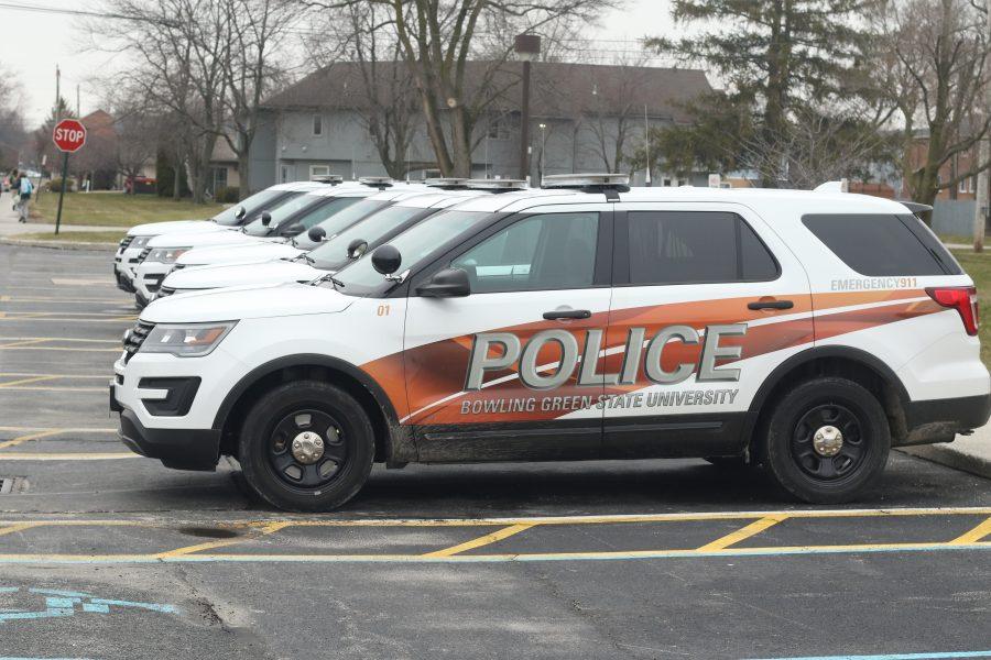


University senior and commuter Alex Bahret can easily get from his car to his morning shift at ITS inside Hayes Hall in roughly five minutes; but if he makes the decision to grab a quick bite to eat, his easy-to-find spot in Lot 5 will be gone, forcing him to park in Lot 10 near the Ice Arena.
The 10 to 15-minute trek from the lot to Hayes is often a nuisance when trying to find a convenient spot to get to work on time, Bahret said.
But, according to the University’s new interactive tracking tool, the average walking time of 10 minutes, 15 seconds is right on schedule.
Parking Services calls the new tool the Online Walking Times map.
Aaron Kane, Shuttle and Parking Services manager, came up with the idea for the interactive map as a way to help commuters plan their days when they need to walk from a commuter parking lot to an academic building in the shortest time possible.
“[Parking Services] worked with Marketing and Communications, along with Design and Construction for the development,” Kane said. “The map was created to help commuter students as they plan their day.”
The map can be accessed on the Parking Services page of the University’s website, Kane said.
While using the map, students can click on the parking lot they plan to park in and then move their cursor over the desired building. Above the cursor, a small window will pop-up, displaying the average walking time for the trip.
“We used students with stop watches to establish times,” Kane said. “Different students would leave from the same parking lot at different times of the day and these times were then averaged to create the times listed on the map … Students using those times to plan their day can feel confident in their accuracy. Of course, inclement weather may impact those times.”
The map was completed nearly a month ago and its development was funded completely by Parking Services, Kane said.
Dan Lemmerbrock, manager at the data hub and resource center was in charge of creating the background map that had the interactive elements installed on it.
Lemmerbrock, who has made many of the University’s other maps, fitted the product to Parking Services’ specifications.
“We created the parking map you see in brochures and online,” he said. “We took the standard one and did some research and we modified it.”
The background map took about eight hours to complete during a few days, with most of the work involving meetings with Parking Services to discuss specific aesthetic choices, Lemmerbrock said.
“We had to come up with the specific colors that [Parking Services] wanted to use for the lots and for the buildings,” he said. “But it was Marketing and Communications that came up with the interactive application part of it.”
Danielle Arbinger, a designer with 15 years of experience in programming and coding, worked with Marketing and Communications to program the map.
Despite her experience, Arbinger, an Ohio University graduate, said she did have some difficulty making sure the interactive elements worked together properly.
“They came to me with the idea, but they weren’t sure if we could do it exactly the way they wanted to,” she said. “There are two different functions of the map, so I had to find codes for each one and get them to work together and with the [Content Management System]. That was the toughest part, but I was very pleased we were able to make it work for the client.”
The development of the Online Walking Times map came in response to a growing number of commuter students expressing concern over limited parking spaces available in their designated lots, Kane said.
Bahret is one such student, and he still isn’t convinced the parking problems will subside.
Bahret said he thinks the new map is a good tool, but most students will probably forget about it rather quickly. He also said the University is more concerned with making money off of ticketing commuters than with helping them find better parking and walking routes.
With convenient commuter parking still an existing problem, Bahret said a good option for commuters would be for Parking and Traffic to stop ticketing commuters and to build a parking garage on campus to provide more parking spaces to students.
“Parking and Traffic’s response to all capacity complaints is that [faculty and staff] have something like 10 more spots than commuters, so everyone can have a spot,” Bahret said. “Unfortunately, this includes some insane locations like those across Wooster [Street] and Poe [Road]. I can promise that the ratio of staff parking spots to staff [members] is far higher than the ratio of student parking spots to students.